The Conversation (0)
Drones
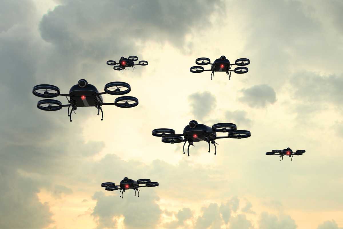
iStock
Search-and-rescue drones to use autonomous car tech to find lost forest hikers
A fleet of drones can use lidar imaging tech to find their way when GPS is unavailable
Drones are already being used by the emergency services to help locate missing people. But in forests the densely packed trees can interfere with the drones' GPS connection, making their performance unreliable.
In a bid to fix this, a group of researchers from the Massachusetts Institute of Technology will this week present a paper on how lidar can be used to map, navigate and search areas where GPS cannot be used.
Read More:
To be presented at the International Symposium on Experimental Robotics conference in Buenos Aires, Argentina, the paper describes an autonomous system for a fleet of drones to collaboratively search under a dense forest canopy.

As reported by MIT News, each drone "is equipped with laser-range finders for position estimation, localization, and path planning. As the drone flies around, it creates an individual 3D map of the terrain."
An algorithm is used to help the drone recognize areas it has already searched, and the images created by the drones are sent back to a manned ground station, where individual maps are stitched together to create a complete 3D view of the search area. This could then be used to help locate missing hikers who would not otherwise be seen from above due to the forest canopy.
"Essentially, we're replacing humans with a fleet of drones to make the search part of the search-and-rescue process more efficient," said Yulun Tian, the paper's lead author.
Instead of conventional cameras, the drones use lidar, the same system as fitted to most autonomous cars. Lidar shoots laser beams at the surrounding environment, then measures the pattern of pulses reflected back by nearby objects. Autonomous cars by companies like Waymo and Ford use roof-mounted lidar systems to understand their surroundings and help them navigate.
The researchers found that their drones struggle to tell one tree from another when viewed through lidar in isolation. To solve this, the drones are designed to look at groups of trees at once, then measure the angles and distances of their trunks are branches in relation to each other. This gives each scene of trees a unique signature.
If that exact pattern of trunks and branches it spotted again, the drone knows it has already flown here and should go somewhere else. These unique signatures also help staff back at base to stitch images together.
The end goal of this system, which has been tested using two drones in a forested area of NASA's Langley Research Center, is to speed up the time it would take humans to search for lost hikers or anyone else who has got into difficulty.

GearBrain Compatibility Find Engine
A pioneering recommendation platform where you can research,
discover, buy, and learn how to connect and optimize smart devices.
Join our community! Ask and answer questions about smart devices and save yours in My Gear.